Aerial agriculture drone services
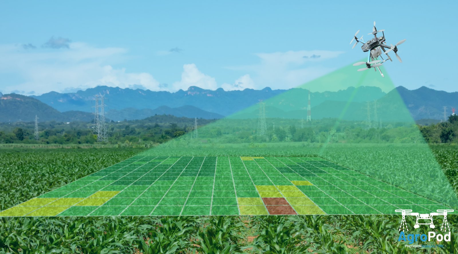
Agriculture drone services refer to the use of drones for various agricultural applications, such as crop mapping, soil analysis, crop monitoring, and crop spraying. These services provide farmers with real-time data and aerial views of their crops and land, enabling them to make informed decisions about crop management and improve yields.
Agriculture drone services are increasingly popular due to their efficiency, accuracy, and cost-effectiveness compared to traditional methods.
Aerial Mapping
Aerial mapping drone services give you the power to map expansive areas and collect data and insights from inaccessible areas with dense or difficult terrain.
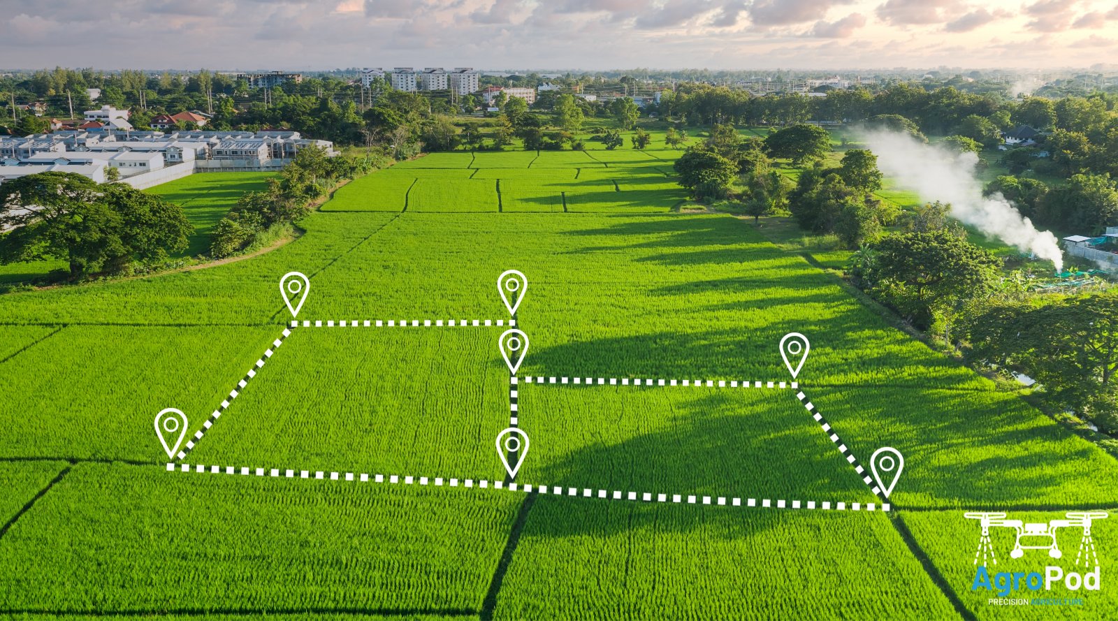
Surveying
We use advanced technology to capture data that allows you to monitor changes and manage construction work with our aerial surveying drone services.
Thermal Imaging
Thermal imaging drone services offer a cost-effective alternative to traditional surveying methods. Drones can quickly source thermal imaging to reduce downtime on site.


Agriculture Spraying
We provide agriculture spraying drone services to support the agriculture and forestry industries. Drones allow us to digitally map farms and plantations for accurate spraying.